
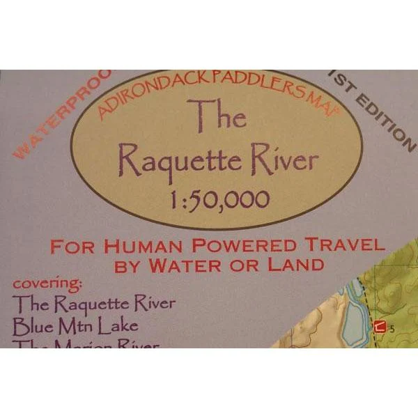


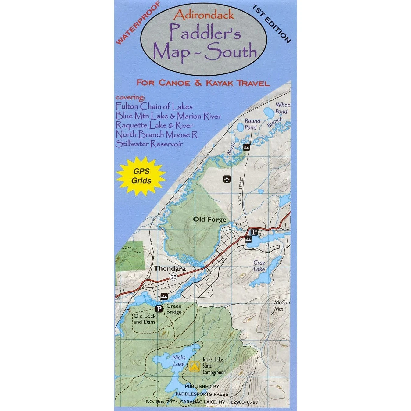
Adirondack Paddler’s Map – Raquette River
Part of the Adirondack Paddler’s Map series. Full color, shaded relief and topographic map at a 1:50,000 scale (Approx 1″ =0.8 miles). Shows private land, state land, wilderness designated lands, portages, trails, numbered campsites, and UTM Grids. Measurements are in metric.
Waterproof and tear-resistant material. “18 x 24” format folded to approximately “4 x 9.”
Covers these areas:
- Raquette River
- Blue Mountain Lake
- The Marion River
- Long Lake
- Tupper Lake
- Raquette Lake

![National Geographic Trails Illustrated Appalachian Trail, Pleasant Pond to Katahdin [Maine]](https://www.portablecampingequipment.com/wp-content/uploads/2026/01/national-geographic-trails-illustrated-appalachian-trail-pleasant-pond-to-katahd.png)
![National Geographic Trails Illustrated Baxter State Park [Mount Katahdin, Katahdin Iron Works]](https://www.portablecampingequipment.com/wp-content/uploads/2026/01/national-geographic-trails-illustrated-baxter-state-park-mount-katahdin-katahdin.png)