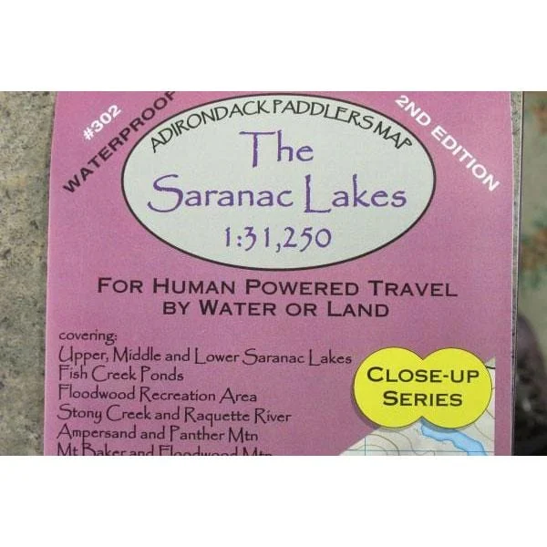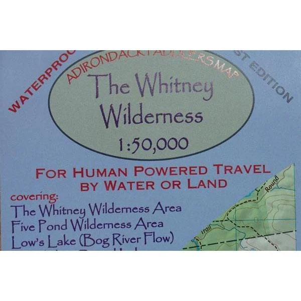
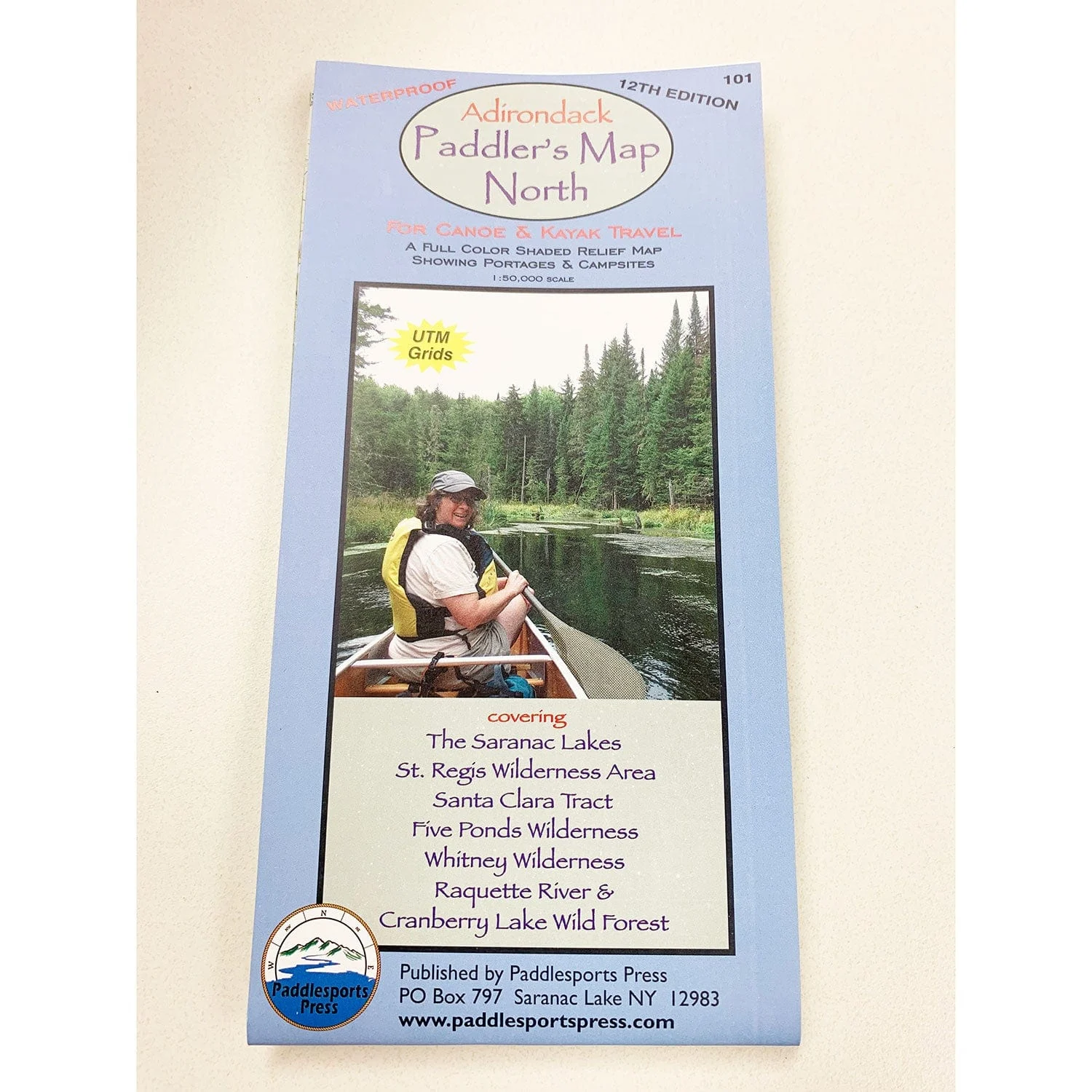
Canoe and kayak map covering The Saranac Lakes, St. Regis Wilderness Area, Santa Clara Tract, Five Ponds Wilderness, Whitney Wilderness, Raquette River, and Cranberry Lake Wild Forest. Waterproof, full-color shaded relief map showing portages and campsites. Designed to use with the Adirondack Paddler’s Guide.
$21.95 Original price was: $21.95.$6.59Current price is: $6.59.
Related products
-
$9.95Original price was: $9.95.$2.99Current price is: $2.99.Adirondack Paddler’s Map – Close-up Series: Saranac Lakes, 2nd Edition Part of the Adirondack Paddler’s Map series. Full color, shaded relief and topographic map at…
-
$14.95Original price was: $14.95.$4.49Current price is: $4.49.• Waterproof • Tear-Resistant • Topographic Map National Geographic’s Trails Illustrated map of the Adirondack Park, Northville-Placid Trail combines unmatched detail with helpful information to offer an…
-
$9.95Original price was: $9.95.$2.99Current price is: $2.99.Adirondack Paddler’s Map – The Whitney Wilderness Part of the Adirondack Paddler’s Map series. Full color, shaded relief and topographic map at a 1:50,000 scale…
-
$14.95Original price was: $14.95.$4.49Current price is: $4.49.• Waterproof • Tear-Resistant • Topographic Map Expertly researched and created in partnership with local land management agencies, National Geographic’s Trails Illustrated map of Allagash…