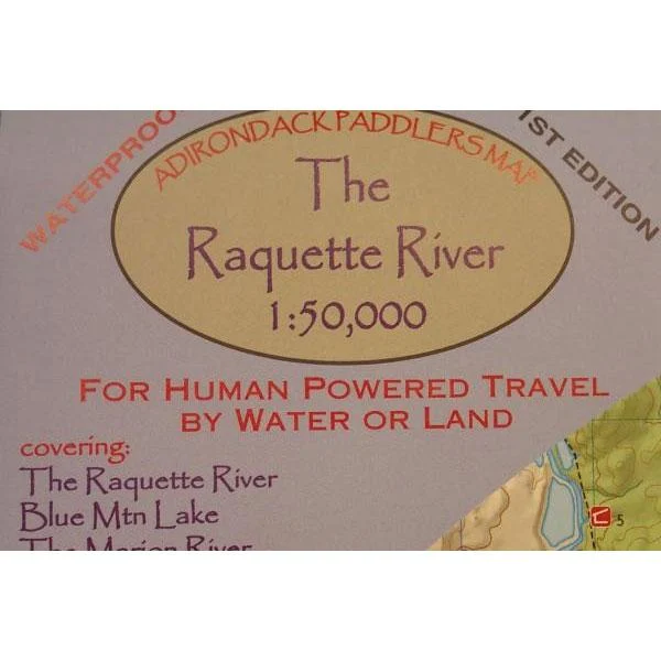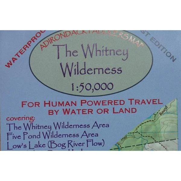
Newly revised 5th edition! This book has been made as a companion to the Adirondack Paddler’s Maps. Where the book goes beyond the scope of the map, other maps are suggested. The routes are described as they are commonly paddled rather than simply by watershed. This book is arranged geographically starting in the NW and heading south and east.
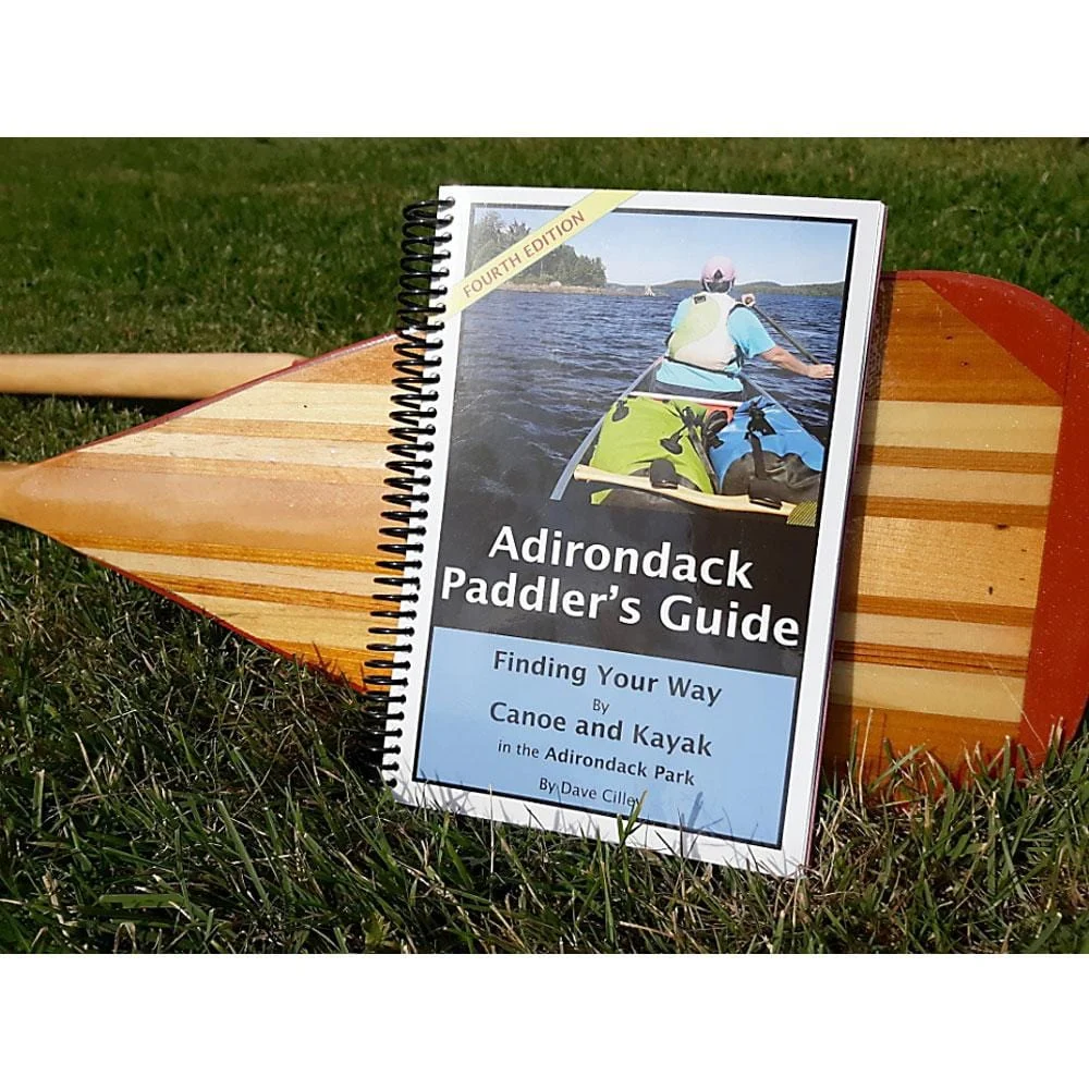
Adirondack Paddler’s Guidebook


Original price was: $34.95.$10.49Current price is: $10.49.
Related products
-
Original price was: $14.95.$4.49Current price is: $4.49.
-
Original price was: $6.95.$2.09Current price is: $2.09.
-
Original price was: $9.95.$2.99Current price is: $2.99.
-
Original price was: $9.95.$2.99Current price is: $2.99.
![National Geographic Trails Illustrated Baxter State Park [Mount Katahdin, Katahdin Iron Works]](https://www.portablecampingequipment.com/wp-content/uploads/2026/01/national-geographic-trails-illustrated-baxter-state-park-mount-katahdin-katahdin.png)